

What you see
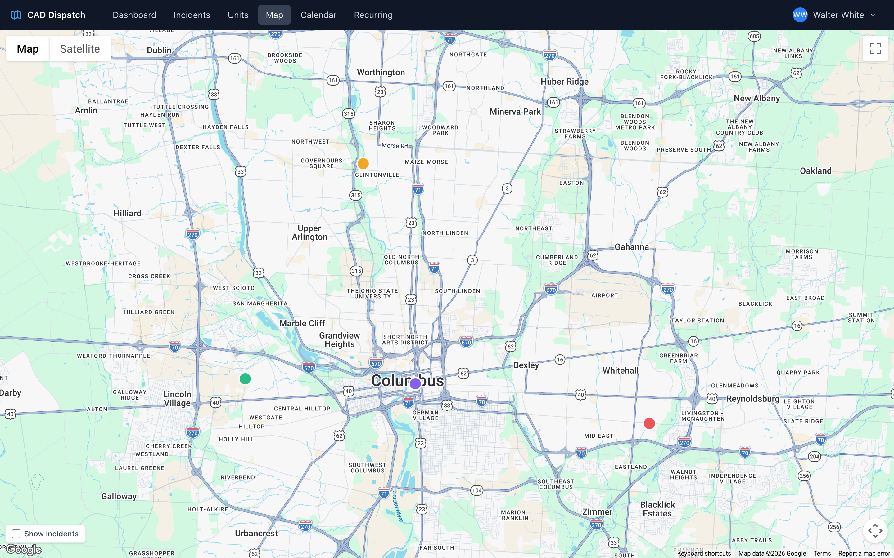
The map shows your active units as colored circles, color-coded by status. Incidents are hidden until you turn them on: tick the Show incidents checkbox at the bottom-left of the map to overlay today's incidents as diamonds. Both units and incidents use the same status colors:
- Green — available
- Amber — en route
- Red — on scene
Other statuses like transporting and at destination have their own colors too.
Getting details on a marker
Click any marker to see a quick info window with the details for that unit or incident — call sign, status, crew, patient, address, and more. Close the info window with the X in its corner, or open another marker.
Focus a unit
Click a unit — either its marker or its row in the active units table — to focus it. The map zooms in, draws the route line to the unit's current scene or destination, and shows an ETA overlay with the drive time, distance, and estimated arrival.
Move a unit on the map
Right-click anywhere on the map and choose Place Unit Here to move an active unit to that spot. CAD looks up the address for the location you picked.
Where to find it
- The map is built into the Default dashboard layout alongside the incidents and units tables.
- The Map link in the navigation opens a full-screen version with no other tiles.
- The Map Only dashboard layout is essentially the same thing — good for a wall display.
- The Map & Grids dashboard layout shows the map alongside the incident and unit tables.
Tip: On a second monitor, open the Map page as its own window. You get real-time awareness of where everyone is while you work the incidents table on your main monitor.